Geodata Collector
- In development since
- 2026
- Status
- Actively developed
- Source code
- Not public
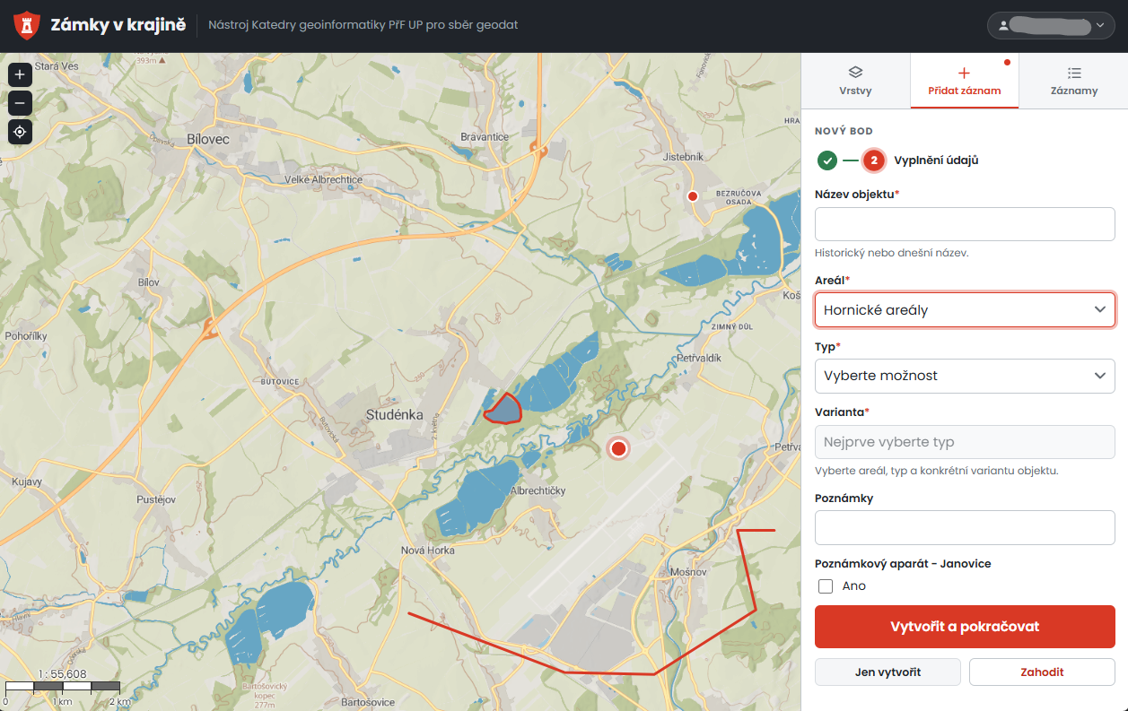
Geodata Collector is an internal tool of the Department of Geoinformatics, Faculty of Science, Palacký University Olomouc, built for historians from the Department of History, Faculty of Arts, Palacký University. It runs entirely in the browser with no installation or GIS skills needed.
Historians layer historical and georeferenced maps over current base maps (with adjustable transparency), draw points, lines and areas, and describe each object in a short guided form. Shapes can be refined at any time by dragging, adding or removing vertices, and every change is saved automatically.
Behind the simple interface, an administrator can manage map layers, the descriptive fields of the form and user accounts without touching the code; every edit is versioned, so earlier states of a record can be compared and restored, and the data can be exported to GeoJSON.
The tool belongs to the project Castles in the Landscape of the Moravian-Silesian Borderland (NAKI III, Ministry of Culture of the Czech Republic, 2023–2027), led by the National Heritage Institute together with the Silesian University in Opava and Palacký University. The project looks for new ways to present castle estates whose development was disrupted after 1945, and the collected geometries serve as a basis for its interactive expert maps.